- English
- Spanish
- Korean
- Filipino
- Armenian
- Chinese (Simplified)
Santa Monica Bay National Estuary Program is one of the United States Environmental Protection Agency’s 28 National Estuary Programs, dedicated to protecting and restoring water quality and the ecological integrity of estuaries of national significance.
Our Seven Priorities
Seven priorities and overarching goals guide our actions in the Santa Monica Bay and its watershed.
1
Protect, enhance, and improve ecosystems of Santa Monica Bay and its watershed
2
Improve water availability
3
Improve water quality
4
Enhance socio-economic benefits to the public
5
Enhance public engagement and education
6
Mitigate impacts and increase resiliency to climate change
7
Improve monitoring and ability to assess effectiveness of management actions
Our Work and Accomplishments
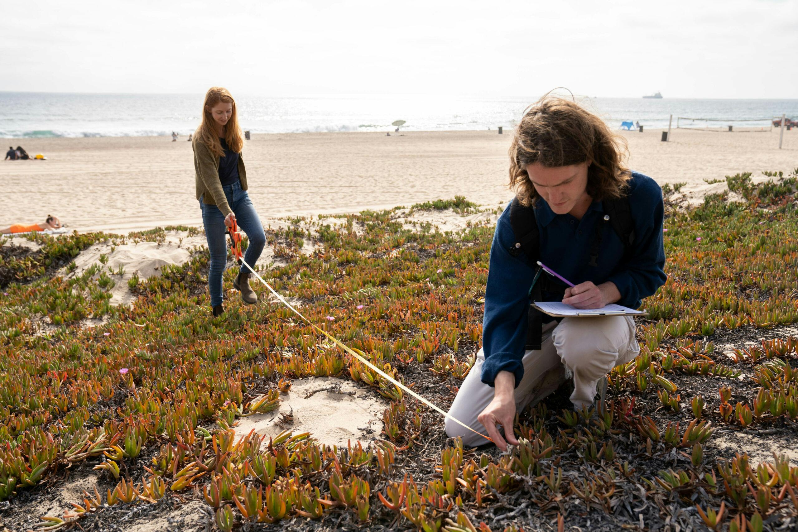
Our ongoing purpose and annual work plans are centered around management, governance and policy, stakeholder education and engagement, research, monitoring, and other actions identified in the Comprehensive Conservation and Management Plan (CCMP). The CCMP was developed with stakeholder input and is a comprehensive plan of action for protecting and restoring Santa Monica Bay and its watershed.
Learn more about our priorities and accomplishments in our Plans and Reports.
Why Santa Monica Bay?
A great wealth of natural resources, mild climate, and convergence of warm and cold ocean waters have attracted people to the shores of Santa Monica Bay and its watershed for thousands of years.
Protecting and Restoring the Bay and its Watershed is Critical
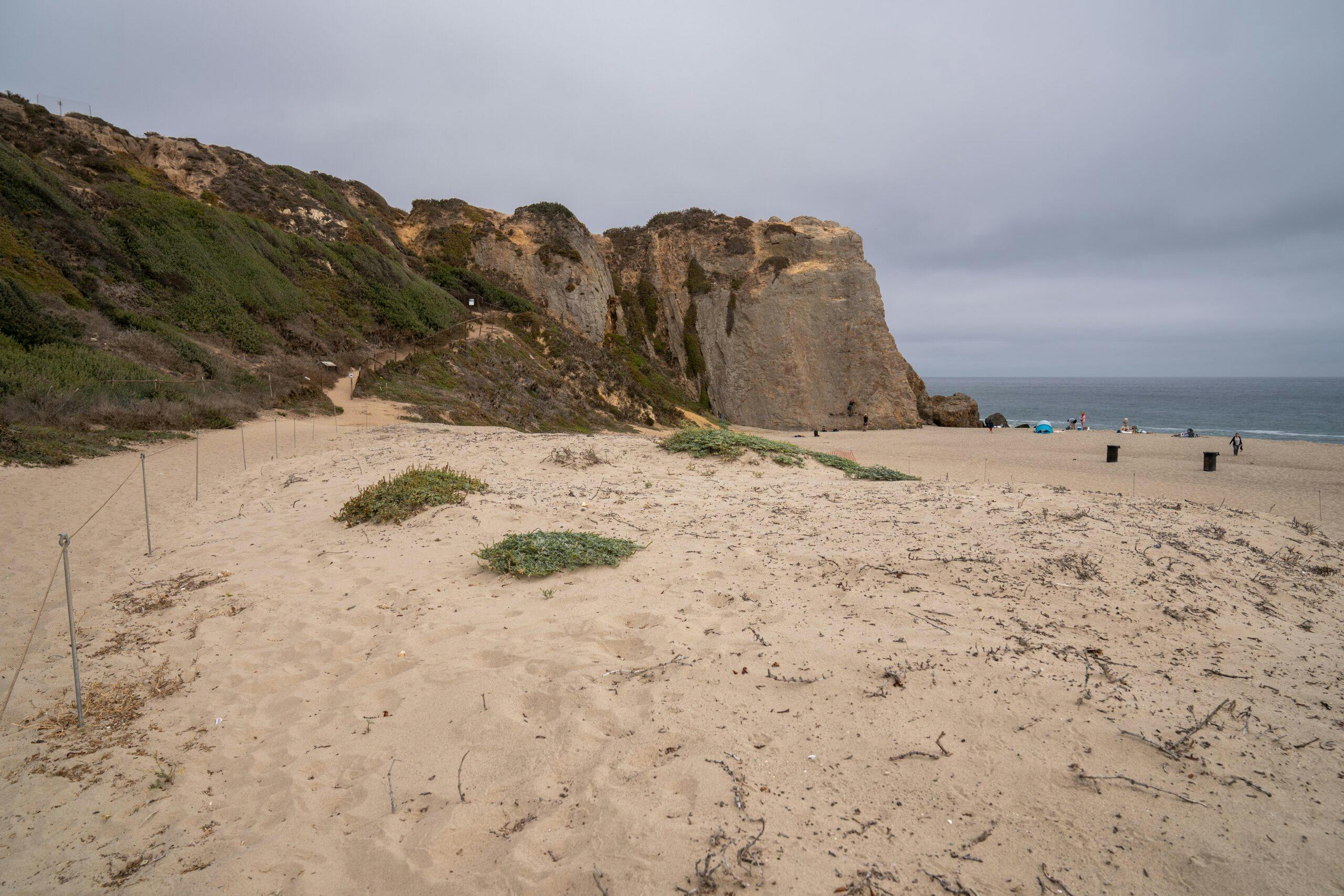
In addition to residents, the Los Angeles region receives over 45 million visitors per year. The Bay is home to world famous beaches, surf locations, and mountain trails. The diverse ecosystems of the Bay and its watershed offer an abundance of recreational, educational, wellness, and cultural opportunities that enhance the quality of life for residents and visitors. However, the footprint of this large human presence causes environmental degradation, leading to habitat loss and fragmentation, coastal erosion, water and air pollution, and water scarcity. Through a diversity of partners and efforts, the SMBNEP develops projects and programs that address these issues, reducing harm to the environment, protecting public health, supporting wildlife, and increasing coastal access and recreation. Many of these projects and programs produce multiple benefits including greater resilience to climate change, refuge for endangered and vulnerable species, and increasing local water availability.
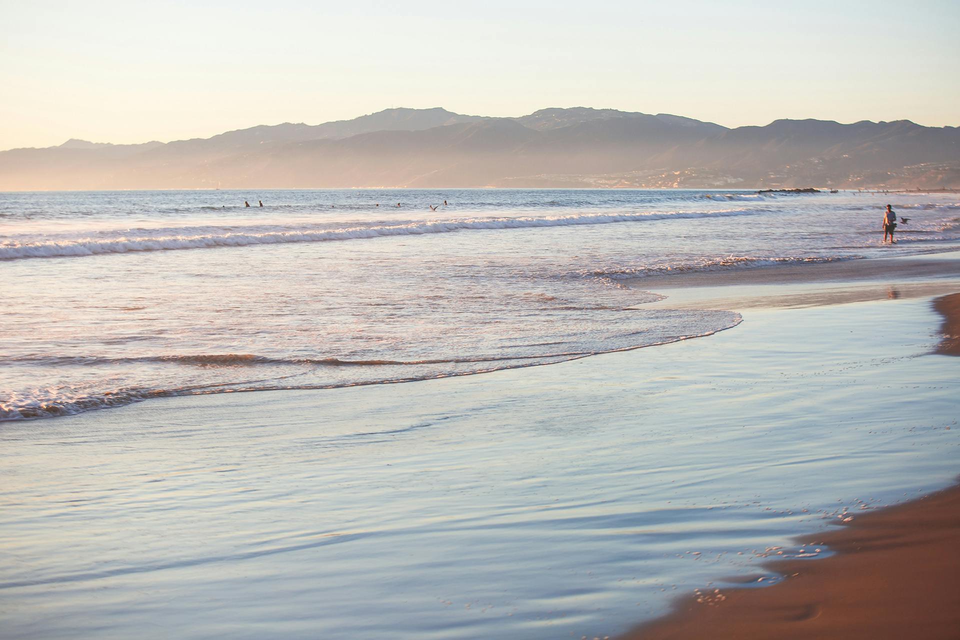
Where is Santa Monica Bay?
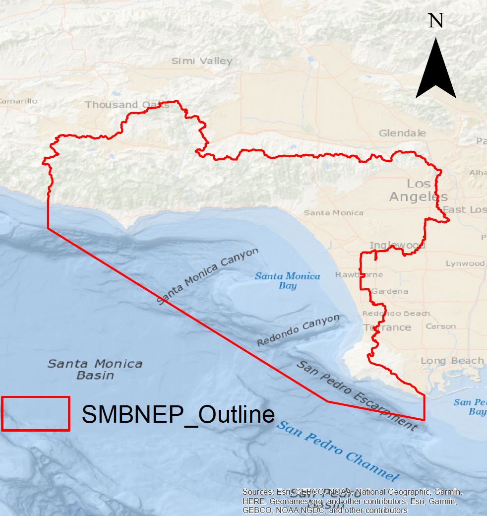
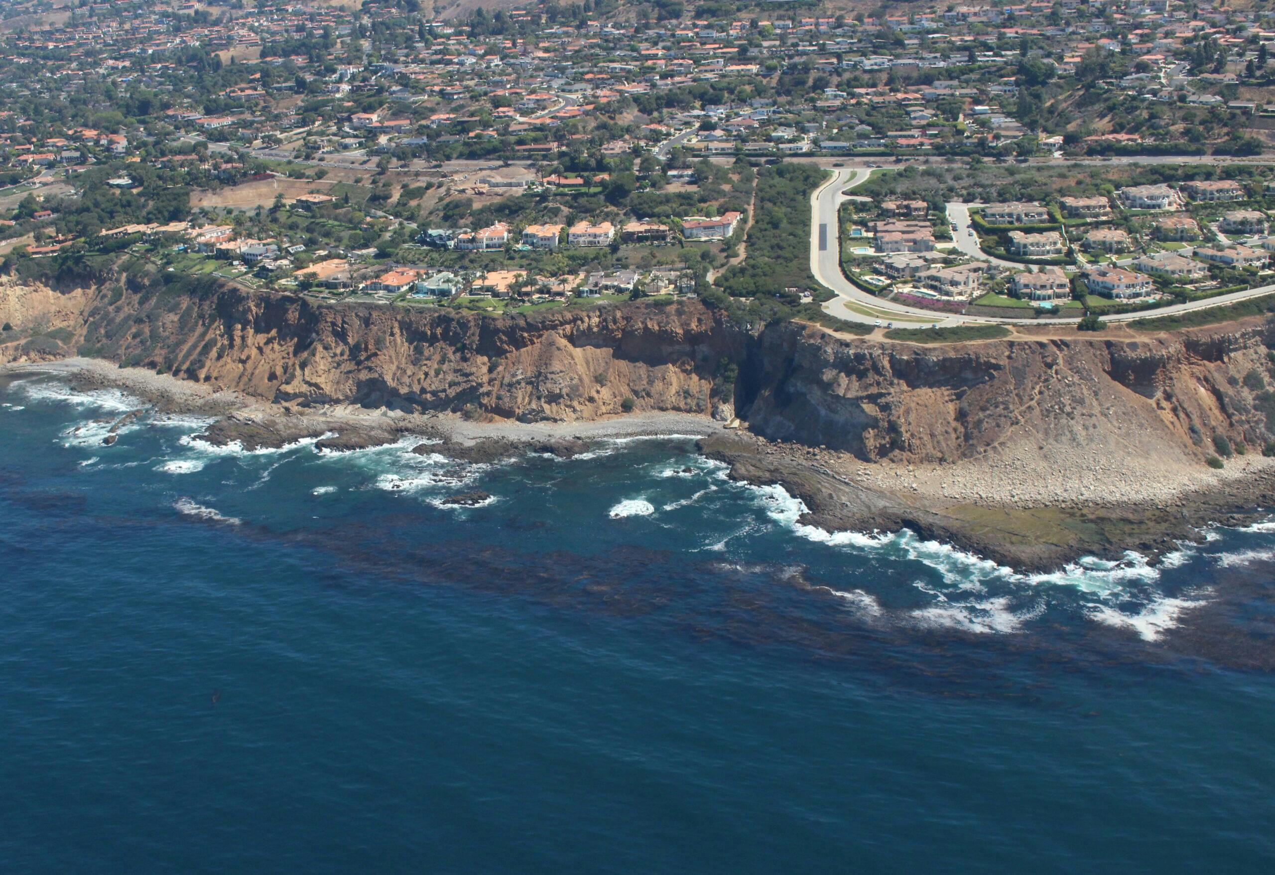
The Bay itself is the submerged portion of the Los Angeles Coastal Plain, bordered offshore by the Santa Monica Basin, on each end by the rocky headlands of Point Dume and the Palos Verdes Peninsula, and onshore by the Los Angeles Coastal Plain and the Santa Monica Mountains. Most Los Angeles beaches are along the coastline of Santa Monica Bay. The 414-square mile area of land that drains naturally to the Bay, known as the Bay watershed, is bordered on the north by the Santa Monica Mountains from the Ventura-Los Angeles County line to Griffith Park, extending south and west across the Los Angeles coastal plain to include the area east of Ballona Creek and north of Baldwin Hills. South of Ballona Creek, a narrow coastal strip between Playa del Rey and the Palos Verdes Peninsula forms the southern boundary of the watershed.
Diverse Ecosystems of Vital Habitats
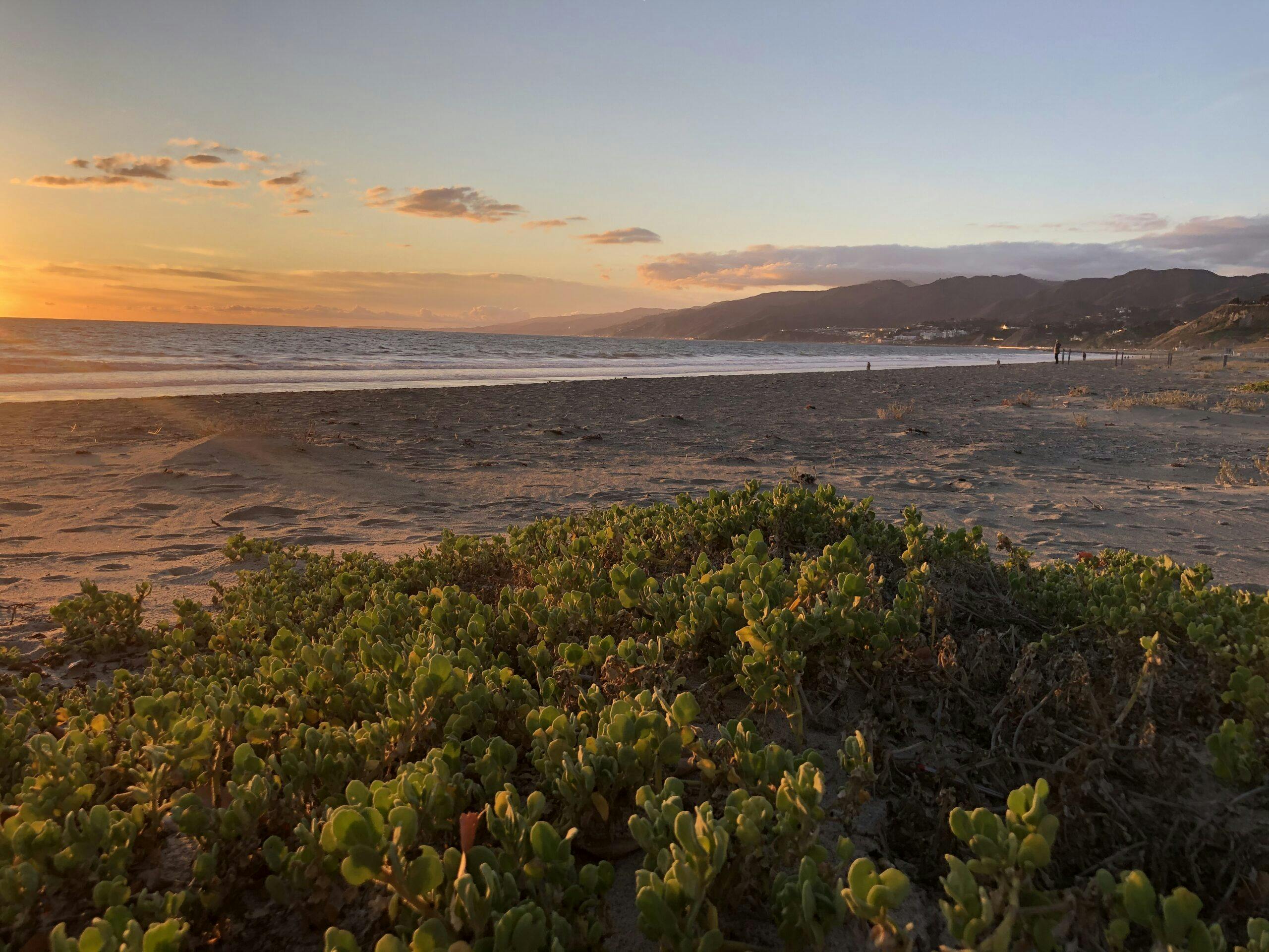
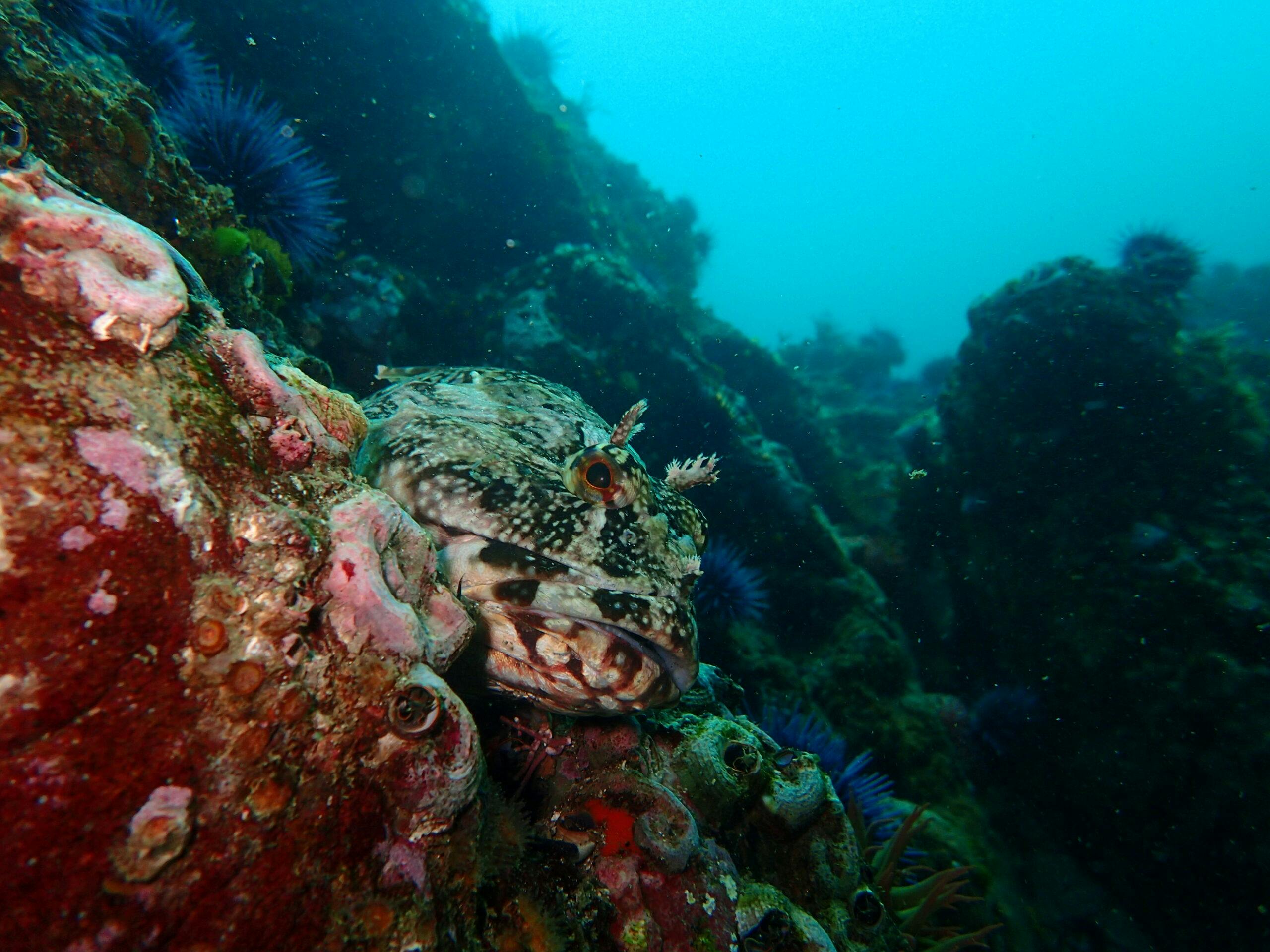
Santa Monica Bay and its watershed encompass many types of habitats. These habitats deliver life’s necessities for the species that inhabit them, as well as essential ecosystem services that benefit humans, such as nutrient cycling, water purification, and flood control. The diverse ecosystems within the Santa Monica Bay watershed provide habitats for more than five thousand species of plants, fish, birds, mammals, and other wildlife. The Bay’s terrestrial and aquatic habitats include riparian woodlands and streams, coastal sage scrub, oak woodlands, coastal sand dunes, salt and brackish marshes, lagoons, and mudflats. Marine habitats include soft and hard bottom, pelagic ocean, sandy and rocky intertidal, kelp forests, seagrass beds, and submarine canyons.
The Indigenous Land of Gabrielino/Tongva, Chumash, and Fernandeño Tataviam
The ability of the Bay and its watershed to support a rich and diverse ecosystem has also made it a highly desirable environment for human inhabitation. Prior to the late 1700s, the Bay’s watershed was primarily the province of Native American Chumash, Gabrielino/Tongva, and Fernandeño Tataviam peoples. SMBNEP recognizes it is on the Indigenous land of Gabrielino/Tongva, Chumash, and Fernandeño Tataviam who have lived and continue to live here. SMBNEP respectfully acknowledges Indigenous peoples as original and continued stewards of this land and its waterways and is grateful to carry out its work on their traditional lands.
A Landscape Transformed
The speed and magnitude of change in the Bay watershed in less than 300 years is truly beyond any early settler’s imagination. Today, the metropolitan area surrounding the Santa Monica Bay is one of the world’s most populous urban areas. According to the 2021 U.S. Census, about 10 million people live in Los Angeles County and 3.8 million in the City of Los Angeles. This population’s modern infrastructure and demands have profound effects on the environment.
Protecting and Restoring the Bay and its Watershed is Critical
In addition to residents, the Los Angeles region receives over 45 million visitors per year. The Bay is home to world famous beaches, surf locations, and mountain trails. The diverse ecosystems of the Bay and its watershed offer an abundance of recreational, educational, wellness, and cultural opportunities that enhance the quality of life for residents and visitors. However, the footprint of this large human presence causes environmental degradation, leading to habitat loss and fragmentation, coastal erosion, water and air pollution, and water scarcity. Through a diversity of partners and efforts, the SMBNEP develops projects and programs that address these issues, reducing harm to the environment, protecting public health, supporting wildlife, and increasing coastal access and recreation. Many of these projects and programs produce multiple benefits including greater resilience to climate change, refuge for endangered and vulnerable species, and increasing local water availability.
Where is Santa Monica Bay?
The Bay itself is the submerged portion of the Los Angeles Coastal Plain, bordered offshore by the Santa Monica Basin, on each end by the rocky headlands of Point Dume and the Palos Verdes Peninsula, and onshore by the Los Angeles Coastal Plain and the Santa Monica Mountains. Most Los Angeles beaches are along the coastline of Santa Monica Bay. The 414-square mile area of land that drains naturally to the Bay, known as the Bay watershed, is bordered on the north by the Santa Monica Mountains from the Ventura-Los Angeles County line to Griffith Park, extending south and west across the Los Angeles coastal plain to include the area east of Ballona Creek and north of Baldwin Hills. South of Ballona Creek, a narrow coastal strip between Playa del Rey and the Palos Verdes Peninsula forms the southern boundary of the watershed.
U.S. EPA’s National Estuary Program
The U.S. Environmental Protection Agency (U.S. EPA) National Estuary Program (NEP) was established under Section 320 of the Clean Water Act to protect and restore the water quality and ecological integrity of estuaries of national significance. There are currently 28 estuaries from around the U.S. and Puerto Rico in this program. To learn more about the NEPs, visit the NEP Story Map. This interactive tool describes the vital resources of each estuary and highlights the role of local partnerships in protecting these resources and addressing the issues they face.